Near the village of Panamalai is located an early-8th c AD Pallava temple known as Talagirishwara. It is situated on a granite outcrop next to a lake (hence the name). Continue reading

Near the village of Panamalai is located an early-8th c AD Pallava temple known as Talagirishwara. It is situated on a granite outcrop next to a lake (hence the name). Continue reading

This is the other temple in Uttiramerur that has parts from the Pallava period, the other being the Sundara Varadaraja Perumal temple. Continue reading

Uttiramerur is a town south of Kanchipuram, in which are located two early-9th c Pallava temples. Continue reading

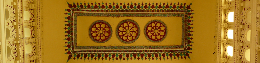
Kanchipuram has temples from the Pallava, Chola, Vijaynagar and Nayaka periods, all the way from the 8th c to the 17th c. The town’s stock of residential buildings is quite impressive as well, with colonial and desi deco styled buildings, as well as ‘traditional’ pitched-roof houses. Continue reading

This is the largest temple in Vishnu Kanchi (the smaller part of Kanchipuram dedicated to Vaishnavite temples). Continue reading

This is the largest temple in Shiva Kanchi (the larger part of Kanchipuram that is dominated by Shaivite temples) and the most important from a contemporary religious standpoint. The temple structures mostly date back to the 16th and 17th c AD. Continue reading
Kanchipuram continued to be a religious center after the Pallava period ended at the end of the 9th c AD. There are a number of Chola-era temples around town. The Jwarahareshwar temple is a 12th c example that has not been expanded upon or become part of a larger temple complex. Continue reading

This is the only Vaishnavite temple from the Pallava era in Kanchipuram. Built in the late-8th c AD, it has three shrines at three levels, one on top of the other (I don’t have photos of the inside though). Continue reading
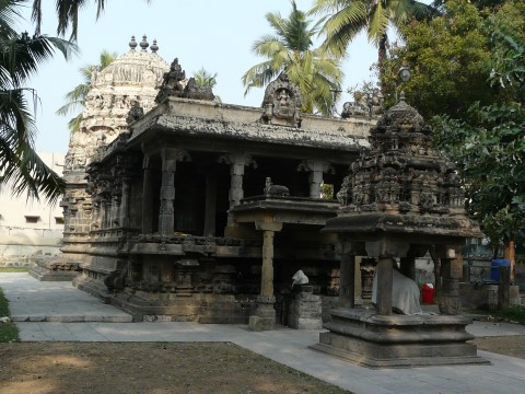
Matangeshwar is very similar to the Mukteshwar temple. Both are from the mid-8th c AD, Pallava period. Continue reading

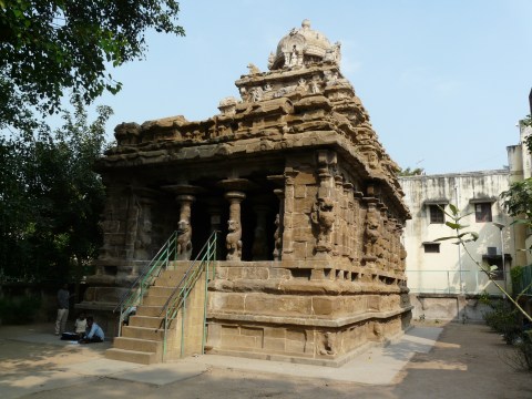
Mukteshwar is a small high-plinthed mid-8th c AD Pallava temple. Continue reading
