On a previous visit to Gwalior I had visited a host of temples in Morena district, but had missed out on a couple of them, including the Kakanmath temple in Sihoniya village a little to the north of the other monument sites. Continue reading
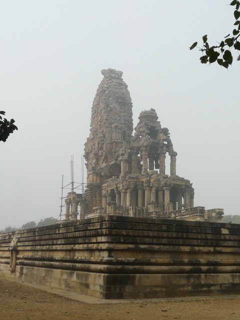
On a previous visit to Gwalior I had visited a host of temples in Morena district, but had missed out on a couple of them, including the Kakanmath temple in Sihoniya village a little to the north of the other monument sites. Continue reading

The Civil Lines area of Delhi, immediately north of Shahjahanabad/Old Delhi, had started to be occupied by the British from the early decades of the 19th century Continue reading

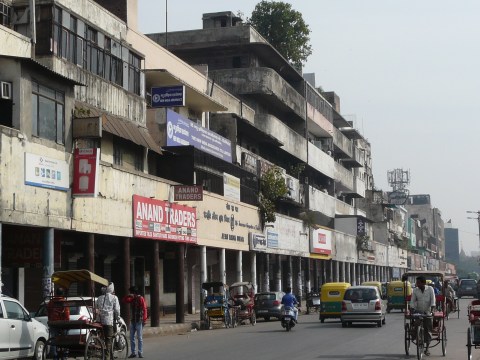
The building stock in Old Delhi that we see along the streets and lanes throughout the old city, if it hasn’t been altered in recent decades, is mostly from the late-19th c and early-20th c. Among the buildings constructed in the early-20th c, there is an interesting variety of architectural styles used in the design of the buildings. Continue reading

The residential neighborhoods in this area are interspersed with institutional buildings and compounds. Even with this difference, this area follows the same pattern as the area south of it Continue reading

This portion of Daryaganj includes uniformly designed town-house style developments, as well as areas that have more organic growth Continue reading

More early-20th c architectural goodness from the Daryaganj area. Continue reading

While the commercial part of Daryaganj was redeveloped in the early-20th c along Faiz Bazaar road (now Netaji Subhash Marg), the inner areas of Daryaganj, to the east of Netaji Subhash Marg, were developed into residential and institutional zones. Continue reading
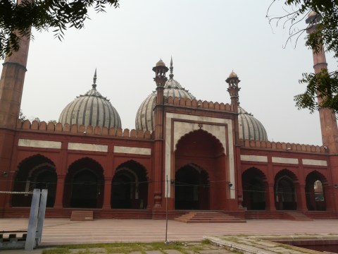
Two Mughal-era mosques in the Daryagnaj area still give an idea of what they would have been like in centuries past, having not been altered too much. Continue reading

The area of Daryaganj is the south-eastern part of the walled city of Shahjahanabad, and used to lie along the banks of the river Yamuna (the floodplain of the river was “shifted” roughly a kilometer to the east by the British), south of the Red Fort. Continue reading
Asaf Ali Road runs along the southern edge of Old Delhi, and is in a way part of the transitional space between Old Delhi and the late-colonial architecture and urban space of Lutyens’ New Delhi to the south. Continue reading
