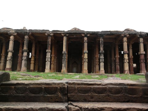
Just some photos from recent trips to Old Delhi, taken in Dec ’11 and Jan ’12.
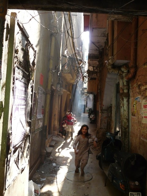
The four mosques discussed in this post are among the earliest royally-sanctioned mosques in north India, dating from the last decade of the 12th c and first decade of the 13th c (1190-1210 AD). All four were built in the wake of the conquest of north India by the armies of Mohammad Ghouri, and are said to be built at the sites of remains of earlier Hindu temples. Continue reading
I went down to the Barapullah Nala (drain) to photograph the progress of the elevated road, and found the nala in spate because of today’s heavy rains. Here are a few photos. Continue reading
One of the side advantages of Delhi Metro is that it’s elevated sections skim over Delhi’s low roof-line (at least for now), providing long views of rooftops and the surrounding city fabric.
On one such journey on the Red Line, I spotted an old gumbad (domed building) sticking out from surrounding newer houses near the Pratap Nagar station. I got off to explore the gumbad, and of course at ground level it was much harder to spot in the maze of surrounding residential streets. Continue reading
The “Lodhi-era toilet” coming up at Defence Colony Market is much nearer completion now, and while we’ve been spared a Lodhi tomb replica, this is now turning out to be some kind of “modern design smashing through a representation of Delhi’s past” kind of thing. So it seems a bullet has been dodged (no Lodhi-era toilet!), but this throws up a whole new set of intriguing ideas! Continue reading
Okay, so when I mentioned a few posts back about dearly lacking “coordinated innovation” among the various government agencies that look after Delhi’s urban landscape, this is not the solution I had in mind! Public toilets that look like Lodhi-era tombs from the 15th and 16th centuries? Really? Continue reading
A short note to follow up on my post about construction work for the elevated road around the Barapullah bridge, in which my concluding remarks were that the separate governmental authorities need to really work together cohesively in Delhi to accommodate both conservation and development, and use Delhi’s historic architecture as a unique facet of the city. Unfortunately, it looks like another section of the elevated road construction may indicate that examples of such collaboration are pretty hard to come by. Continue reading
Since I wrote about Nila Gumbad and the dispute between the Railways and ASI in my previous blog post, I thought I’d go visit Nila Gumbad once again to see just what the situation was there, how close the railways line was to the monument etc. I’ve visited Nila Gumbad a few times before, but had always just seen it from the west – from the side of Humayun’s Tomb. Continue reading
An image of Barapullah I took sometime in 2009, showing its basic design and construction (and the ganda nala – dirty drain – flowing under it)

Barapullah is an early 17th century bridge close to Humayun’s Tomb and Khan Khana’s Tomb in the Nizamuddin area. The monument has been in the news recently as part of the ongoing tussle between the ASI (Archaeological Survey of India) in Delhi on one side, and various other governmental bodies (such as the railways, Delhi metro, MCD, Commonwealth Games people etc) on the other, playing out an intra-government-department preservation-versus-development urban slug-fest. Continue reading
A Brief History of Shahjahanabad
Carrying on with my Dilli Darshan posts, I’m going to put up a series of them about Shahjahanabad (Old Delhi). Shahjahanabad is the 17th century Mughal walled city that also contained the Mughal palace and court, and which was the occupied part of Delhi during the time the British took increasing control of the city throughout the first half of the 19th century. Which means that Shahjahanabad was what they took increasing control of, and was the core area that Delhi grew out of in the late 19th c. and throughout the 20th c. Continue reading